Emergency dashboard

Be prepared

Council has opened 7 temporary green waste drop-off sites which are available to residents from 7am-5pm daily. Find out the locations on our latest community service announcement.

Residents can now access temporary waste bins in suburbs across Brisbane. Find out more

All Council’s resource recovery centres are now open following the recent severe weather event. See the community annoucement

Council services and facilities will have changed operations due to the impacts of ex-Tropical Cyclone Alfred. Find out more.

Brisbane bus services will return to normal weekday timetables from Wednesday 12 March 2025. CityCats and KittyCat services remain suspended due to debris in the Brisbane River. See the community announcement

Stay up to date with our latest community service announcements.

Pause

The flood map is for general awareness. It shows predicted flood areas using pre-existing data and advice issued by the Australian Government’s Bureau of Meteorology.  Even if your property isn’t marked as flooded, it could still be at risk. Always pay attention to local conditions, Bureau of Meteorology warnings, refer to your household emergency plan and use your own judgment to stay safe. 

Flood Cameras
The images displayed on this website are captured from flood monitoring cameras and are typically updated at 10.00 AM and 2.00 PM during normal operation. During a flood event, the aim is to update images every 30 minutes; however, update frequency may be impacted by telecommunications issues or other unforeseen circumstances.

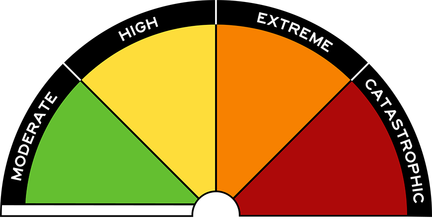
For information on how to understand and interpret the emergency dashboard mapping tool, read our frequently asked questions. This website contains general forecasts and information based on third-party information from the Commonwealth Government’s Bureau of Meteorology. Read the disclaimer.

Weather warnings

Fire danger ratings

Chart showing No Rating
Fire Weather District
Brisbane
Day
Thursday
Fire Danger Rating
No Rating
Last Updated

Weather observations

Current temperature
28.8°C
Lowest
19.6°C
Highest
28.8°C
Rainfall
0.0 mm of rain since 9am
Last weather at
2:20 PM
Humidity
48%
Pressure (hPa)
1017.8
Wind Direction
E
Wind Speed
9 km/h 5 knots
Highest Gust
22 km/h 12 knots

Community service announcements

Higher than predicted high tides may be experienced in low-lying foreshore areas and riverside locations from Monday 27 January 2025 to Sunday 2 February 2025.

These high tides are expected to be...

The Bureau of Meteorology has issued a Severe Heatwave Warning for Brisbane from Tuesday 21 January to Friday 24 January 2025. 

Residents are advised to closely monitor those around them who are most...

Brisbane City Council will be undertaking additional green bin collections in Carina Heights, Carina, Seven Hills and Camp Hill from Monday 20 January to Wednesday 22 January following recent severe...

Traffic changes will be in place from Saturday 18 January to Monday 20 January 2025 on Adelaide Street for Brisbane Metro project works.

During works, the following temporary traffic changes will be in...

Aerial mosquito treatment by helicopter is planned to start at 7:00am Thursday 2 January and may continue until Saturday 4 January covering areas including Tinchi Tamba Wetlands, Bald Hills, Brighton...

The Bureau of Meteorology has issued a Low to Severe Heatwave Warning for Brisbane for the next 3 days, from Friday 27 December to Sunday 29 December 2024. 

Residents are advised to closely monitor...

Pagination

Social media updates

Other Council dashboards

View surrounding Council's dashboards to map your journey ahead of travel.

Last updated:
Topics: severe event

Brisbane City Council acknowledges this Country and its Traditional Custodians. We pay our respects to the Elders, those who have passed into the Dreaming; those here today; those of tomorrow.